June 1, 2021 - Johnson Creek Airport, Idaho
All too soon, the Real Man's Weekend ended, and it was time to get back on the road. After a delicious breakfast at The Pancake House in McCall, Pete and Dale dropped me off at the airport.
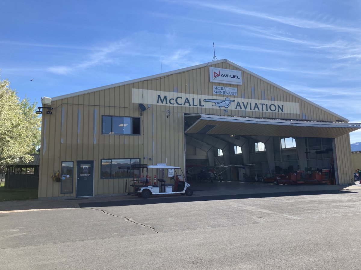
Here's a picture of the McCall Aviation FBO -- on the left.
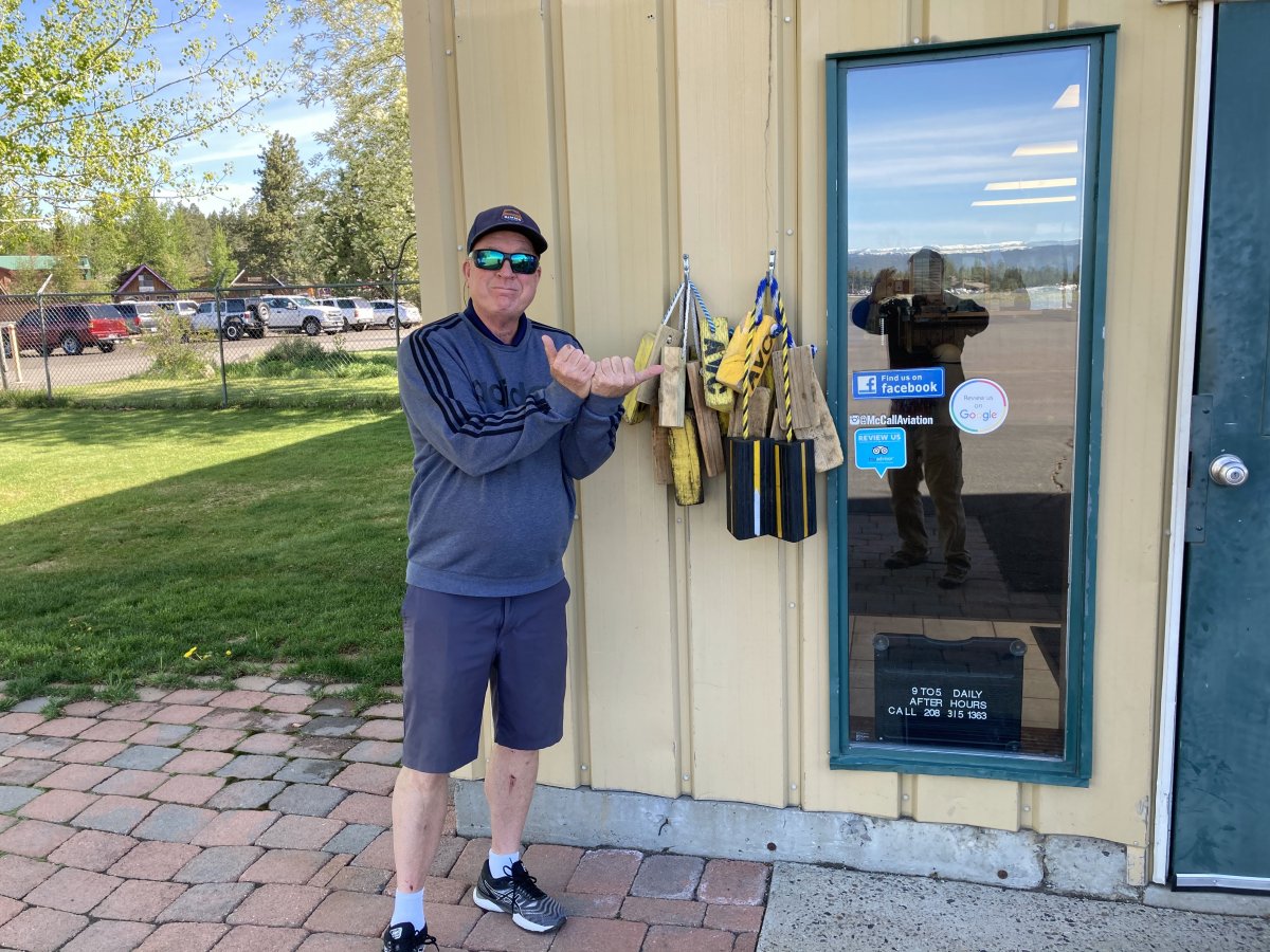
Pete gives me the go-ahead for launch.
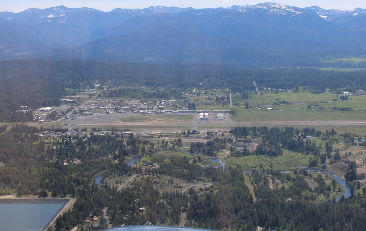
After takeoff, looking down at McCall Airport. I'm heading north, to see if I can find Loon Lake, where Pete, Stan and I had once hiked to checkout a World War II B-23 bomber that had made a forced landing on the frozen lake in winter. Link. I had time. My destination for today, Johnson Creek Airport, is only 25 miles or so to the east as the crow flies.
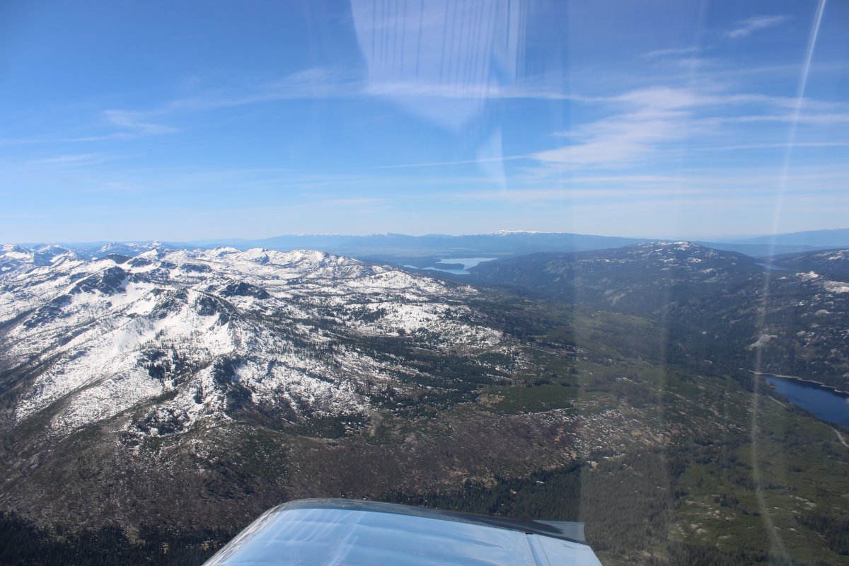
The problem was, I really didn't know where Loon Lake was. I knew it was north of McCall but that was about it. There are numerous lakes north of McCall, none labelled on the sectional.
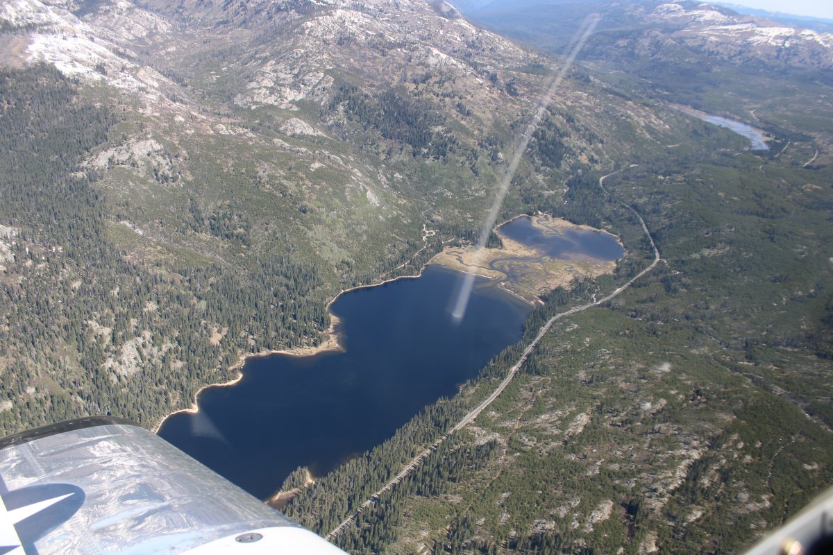
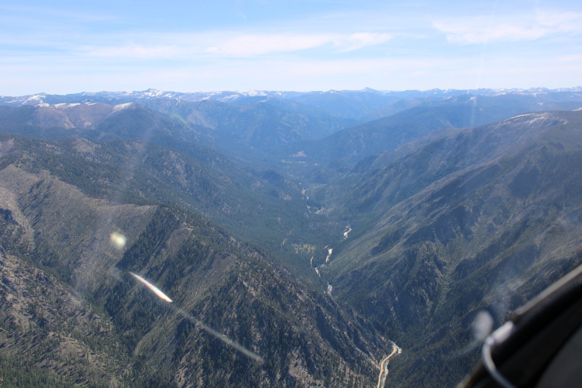
I decided to give up looking for Lake Loon and turned east towards Yellow Pine, which is just north of Johnson Creek Airstrip.
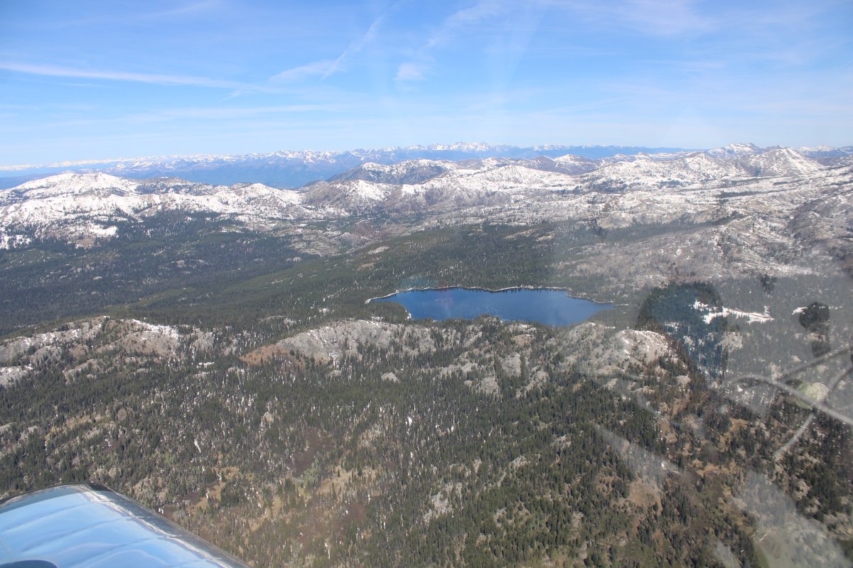
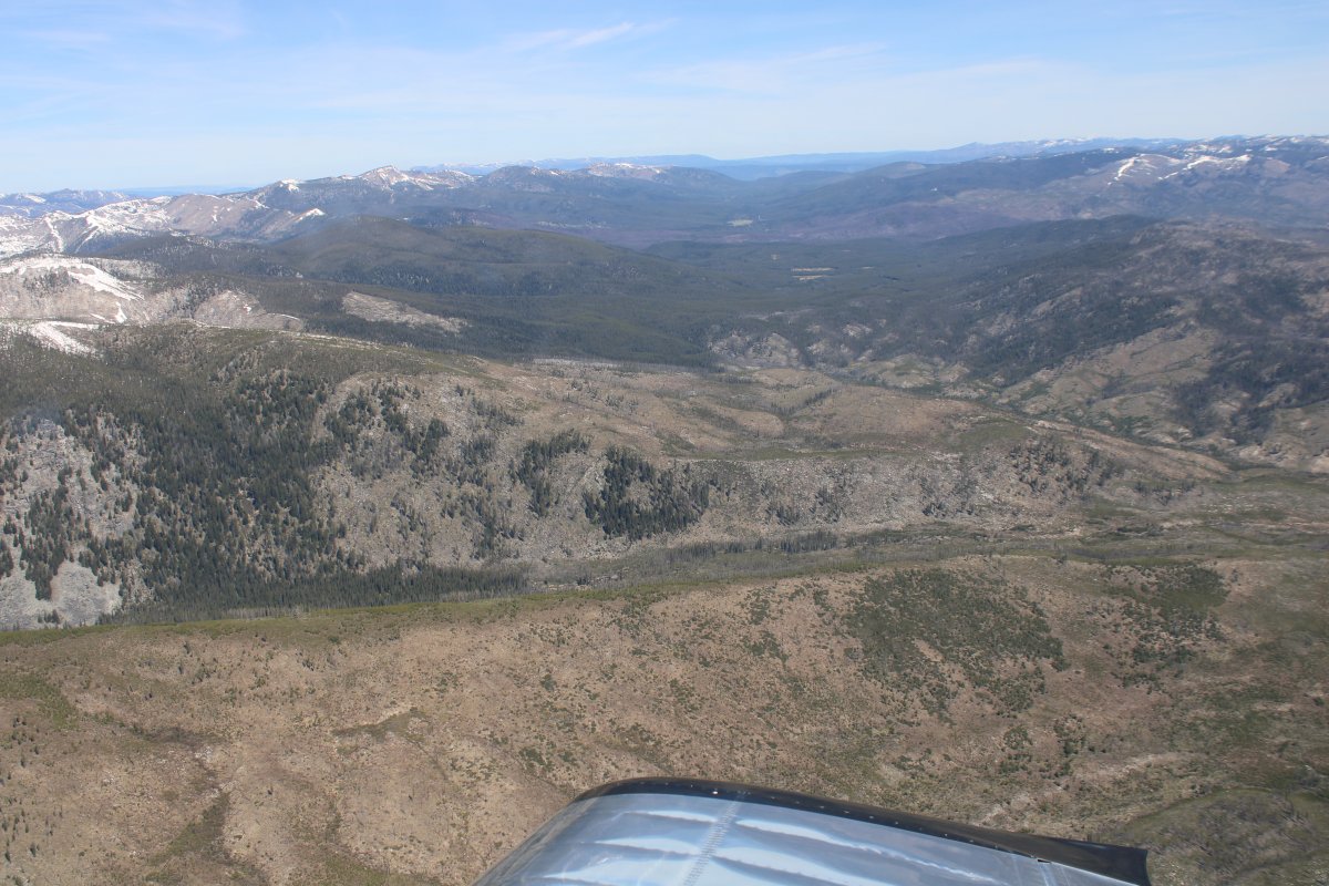
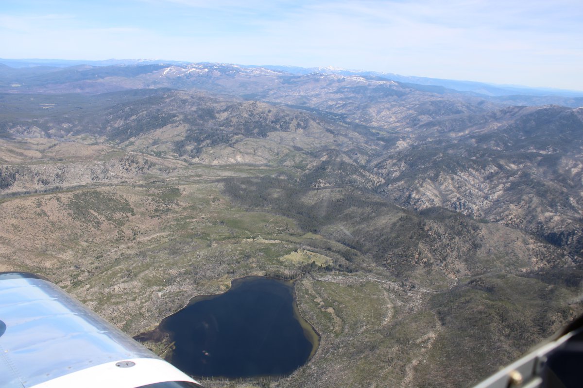
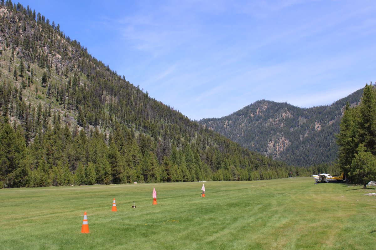
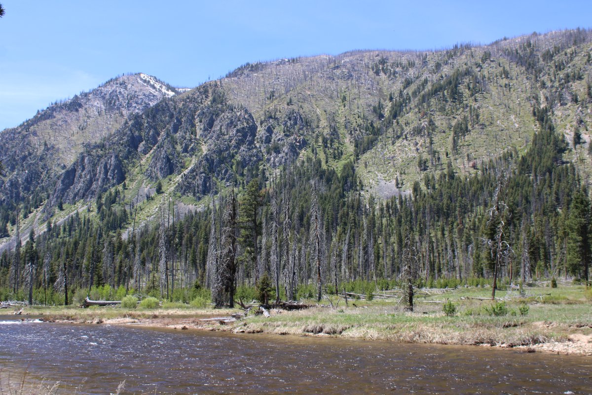
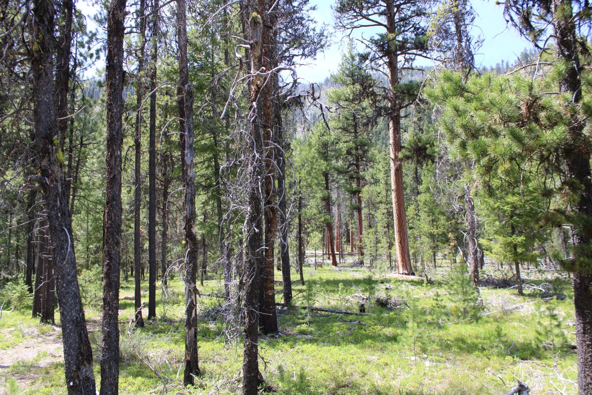
Here, I'm looking south at some 9,000 foot mountains.
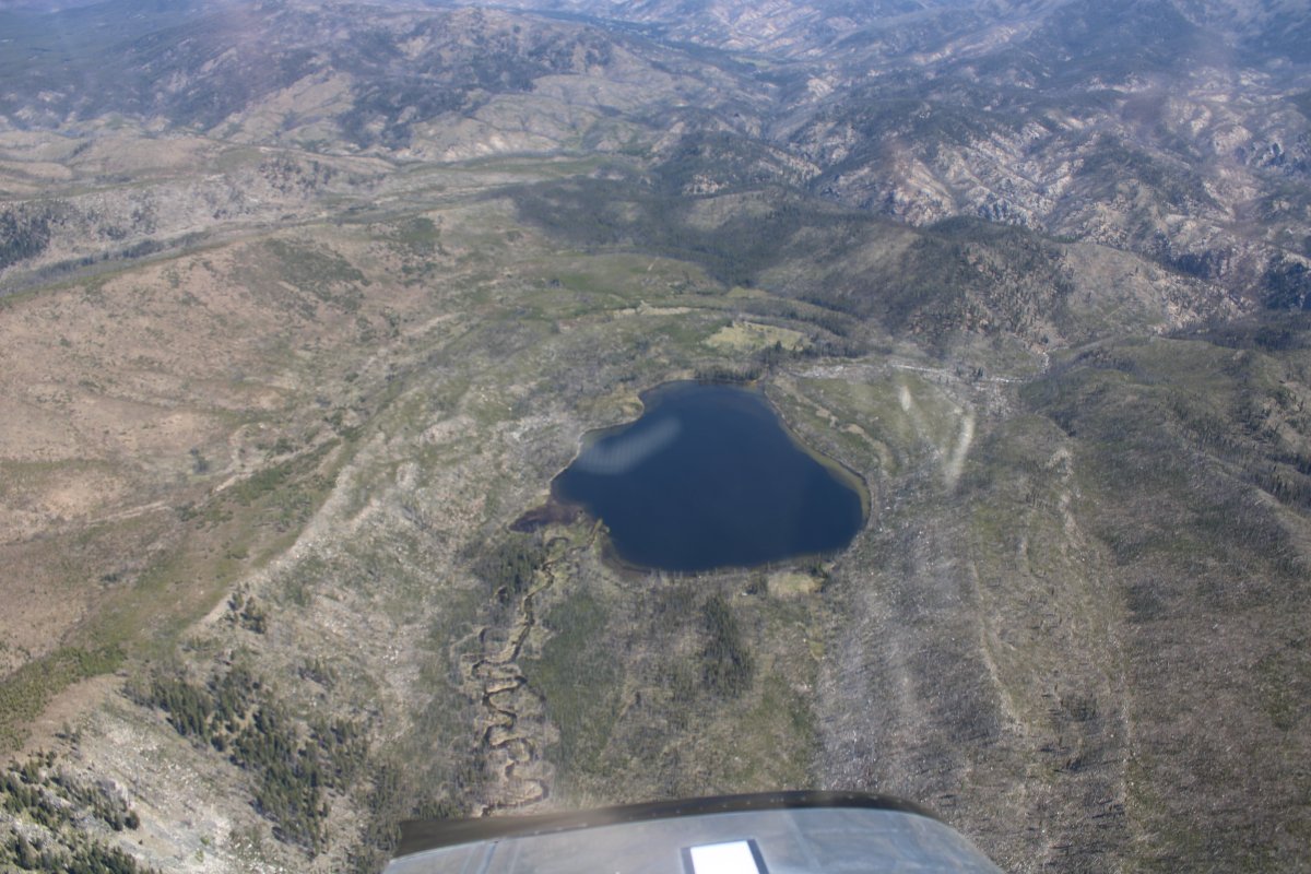
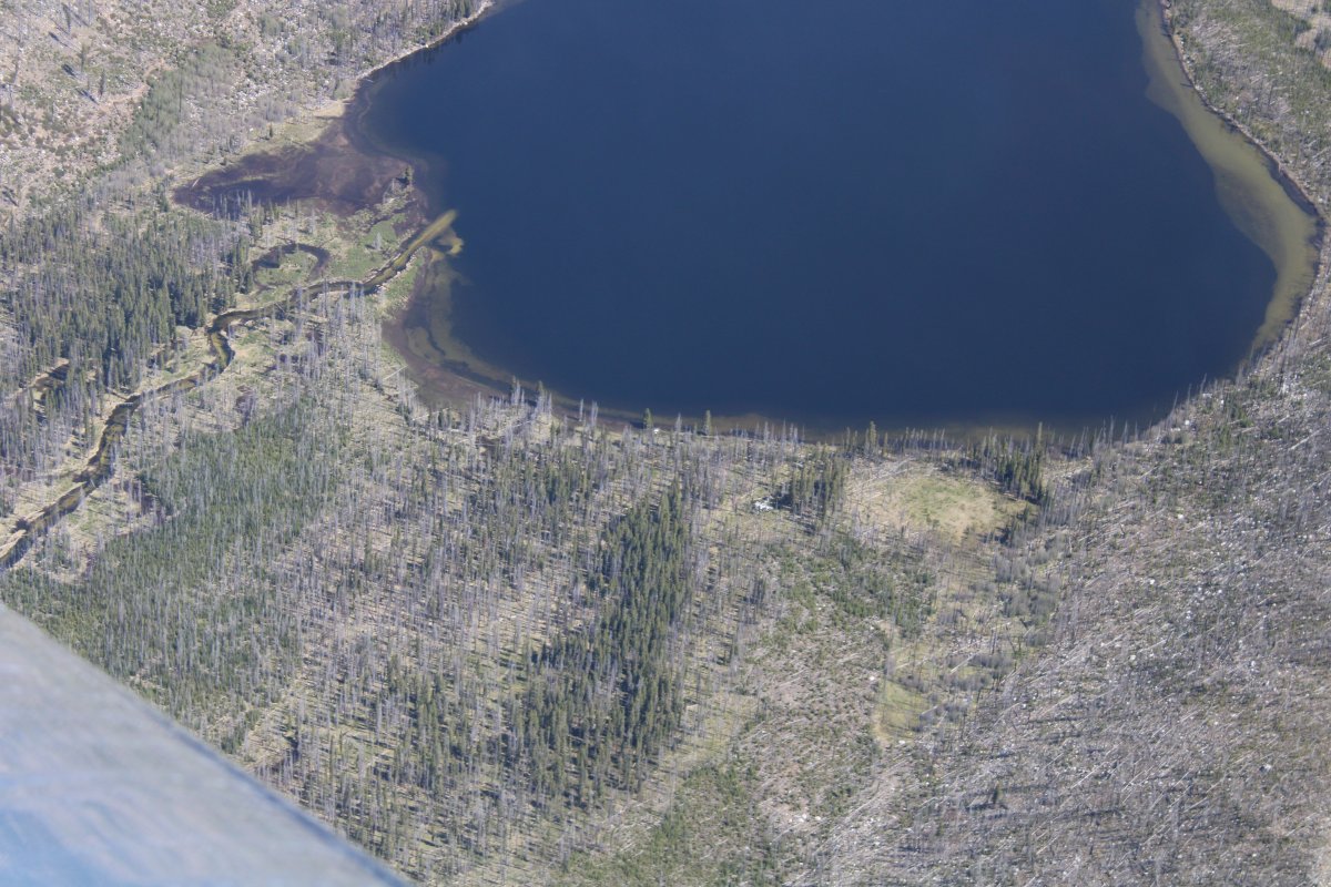
So then I thought, well, let's look for the plane wreck. And sure enough, there it was, at the south end of the lake, big as day.
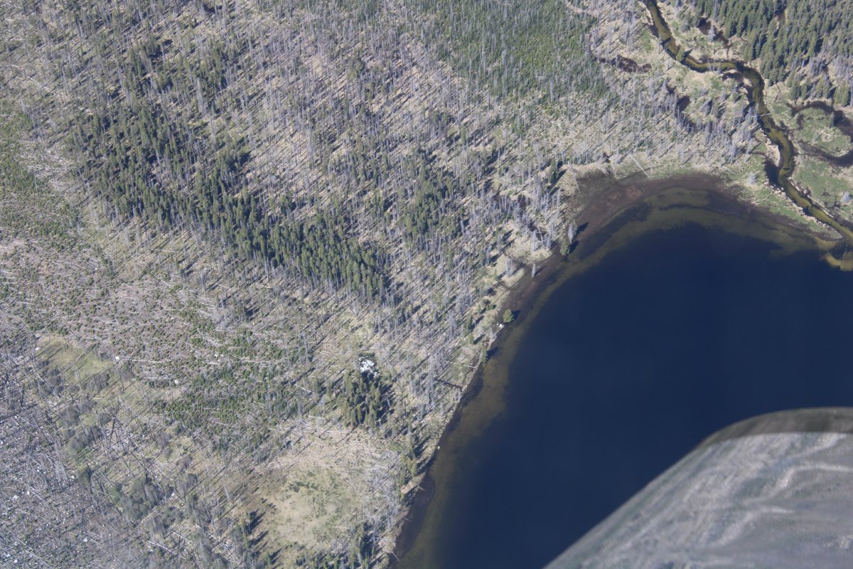
Another look at the wreck of the B-23. And so, just by sheer luck, I found the B-23.
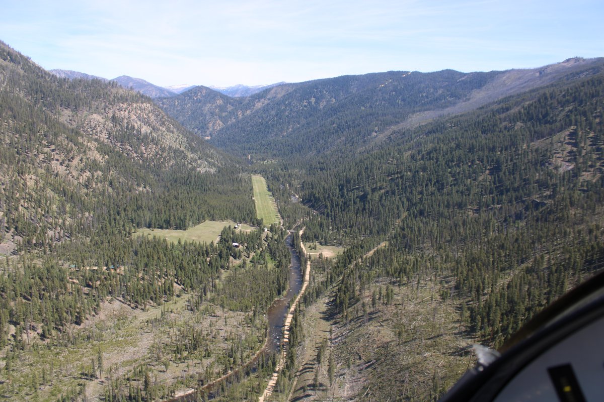
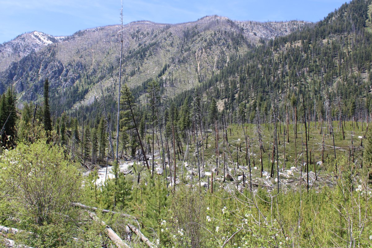
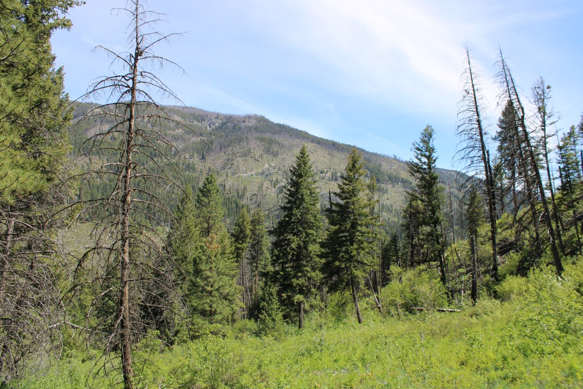
Following a creek and road through the mountains to the town of Yellow Pine.

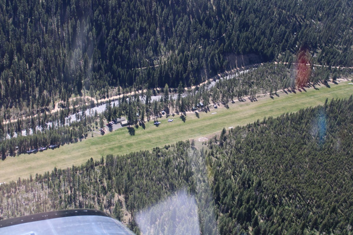
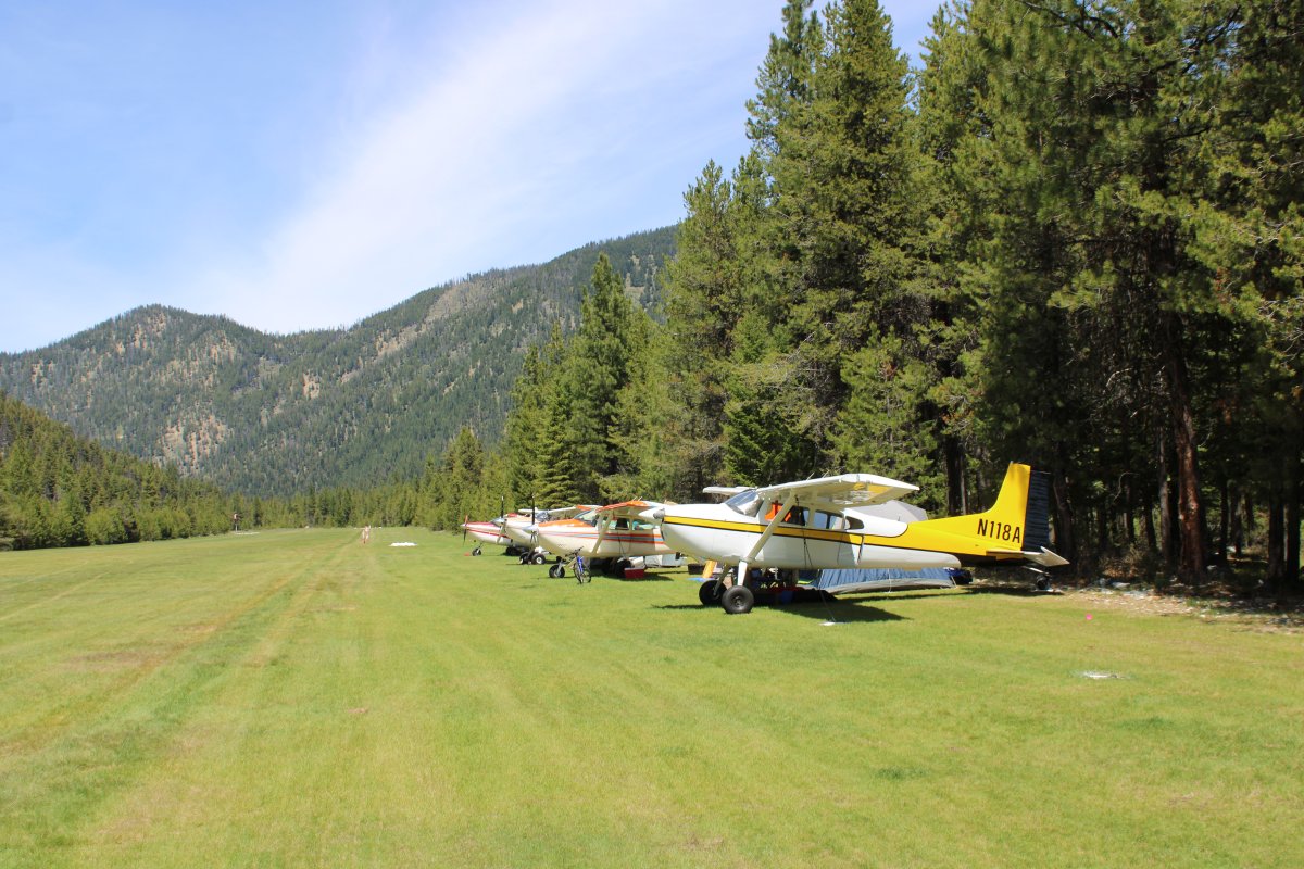
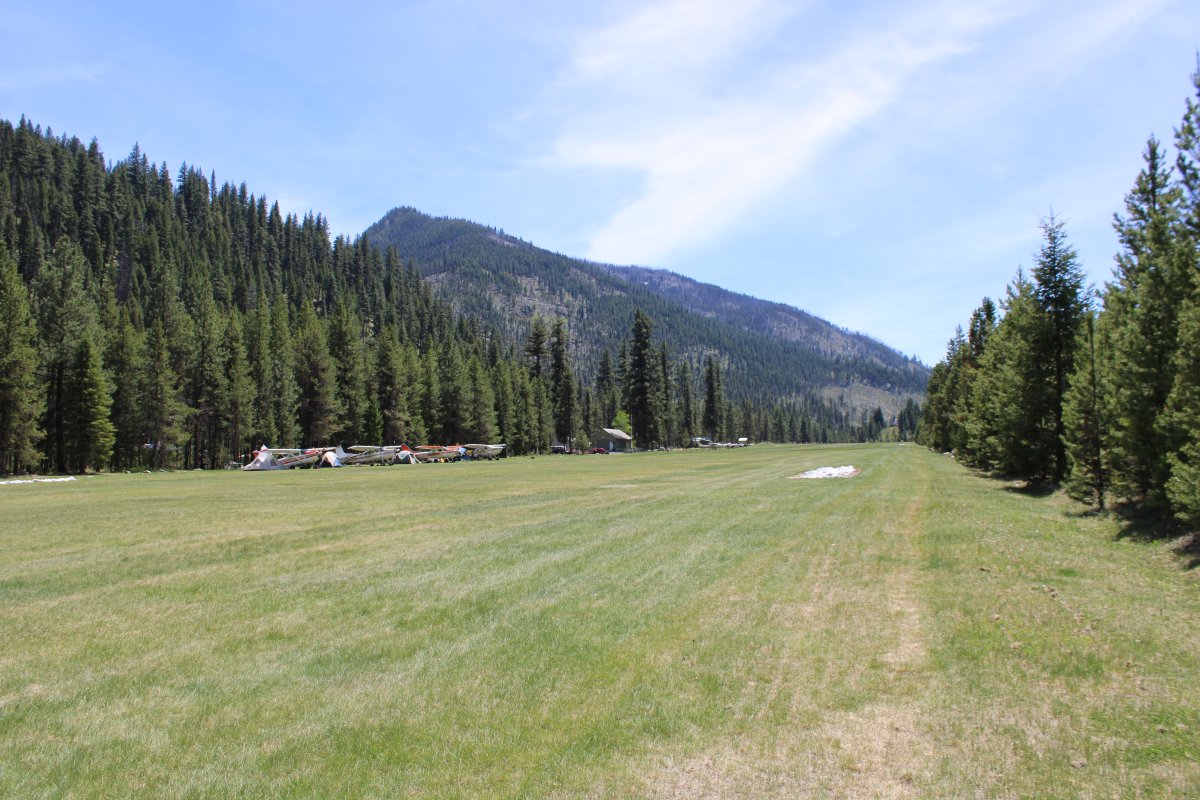
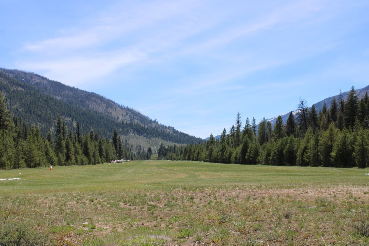
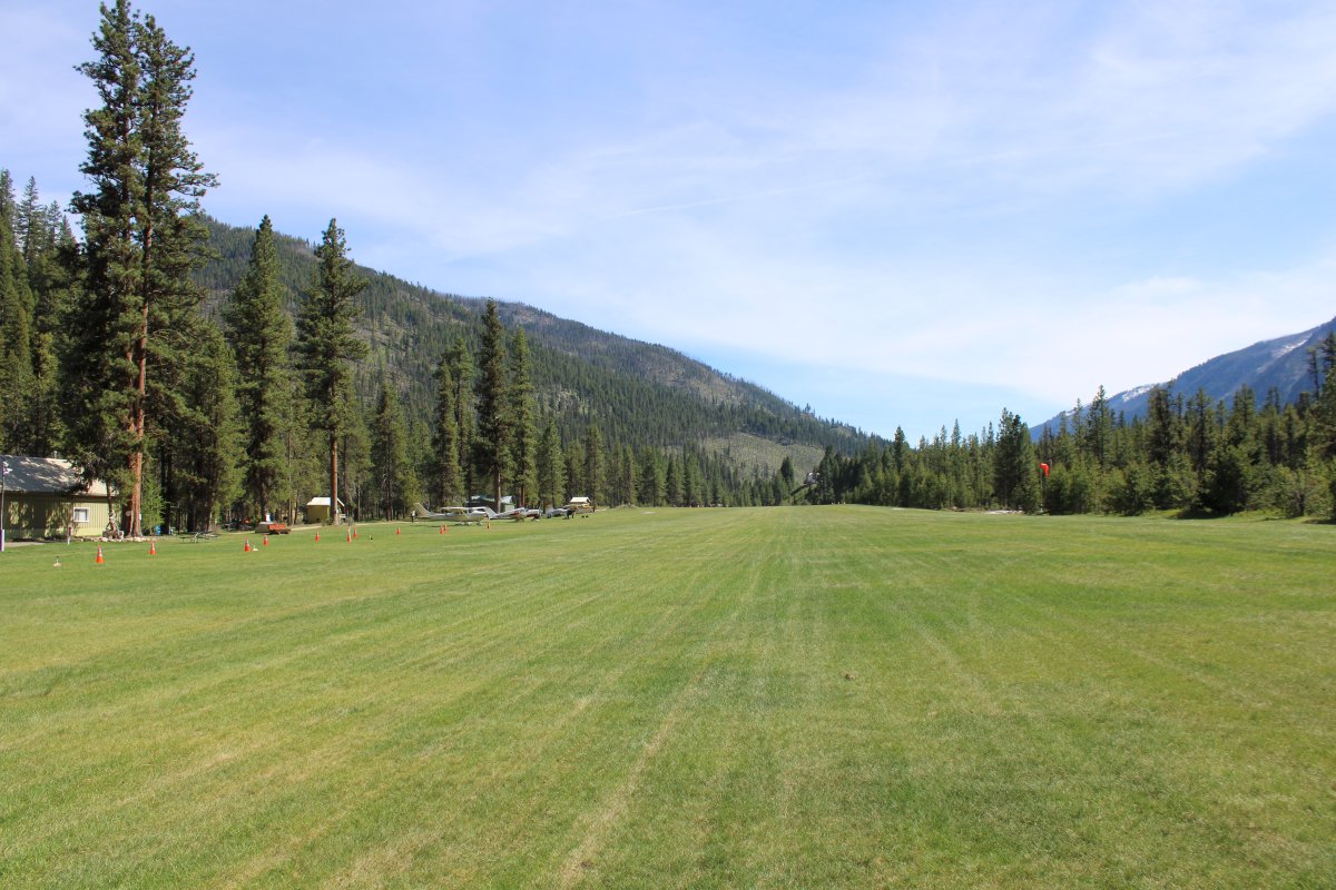
Turning final for 17 at Johnson Creek. It looks pretty short from here but actually the grass runway is 3,400 feet long, much longer than my homefield at Essex Skypark. And much wider too. It's just that flying a pattern here at Johnson Creek puts you pretty close to some big mountains off your wing.
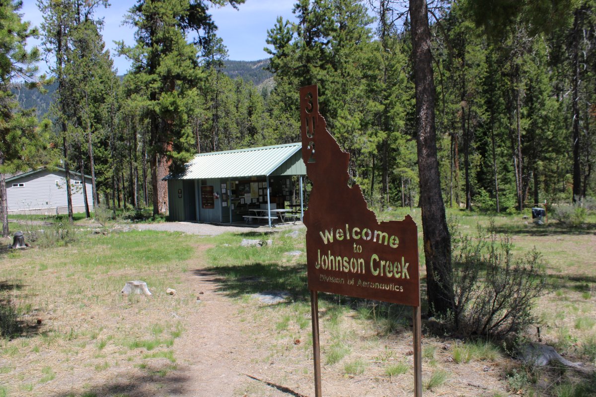
Safe on deck at Johnson Creek Airport! Looking north. I've heard of Johnson Creek for many years; I finally made it!
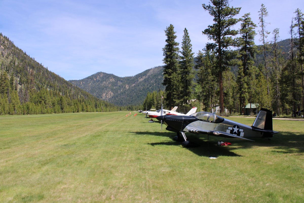
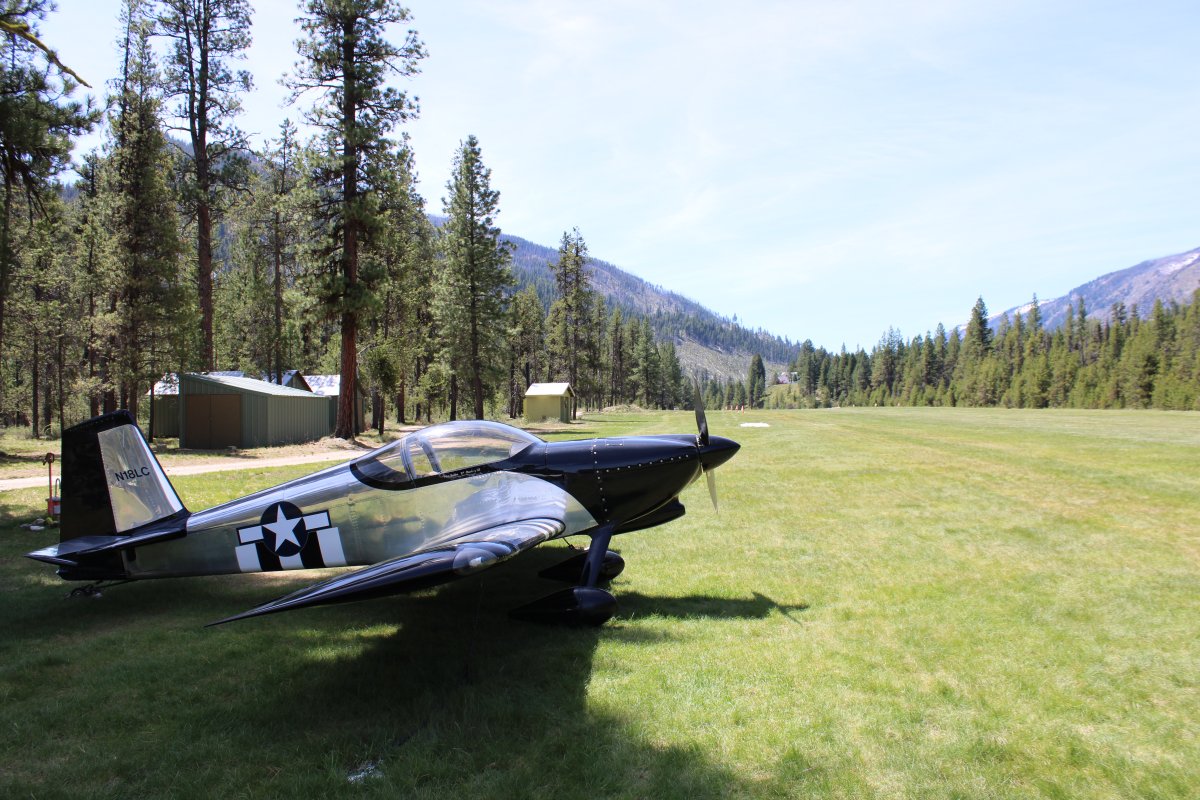
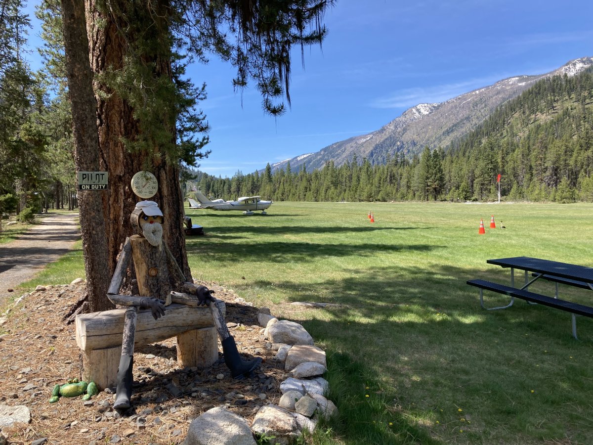
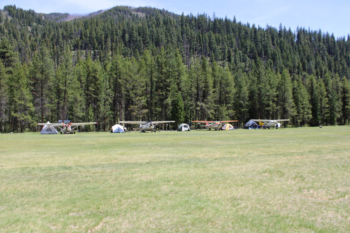
Right away I was struck by how nice the airport was: beautiful manicured grass runway, big pine trees, nice facilities, surrounded by tree-covered mountains.
 +
+
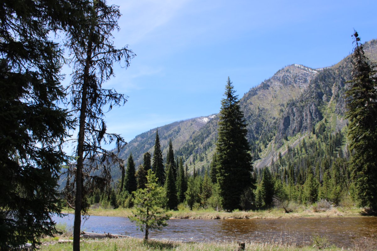
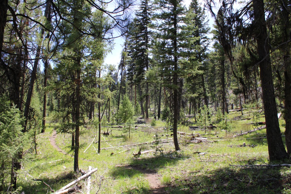
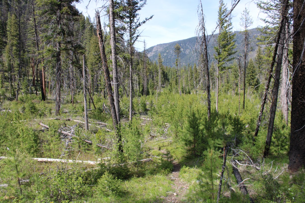
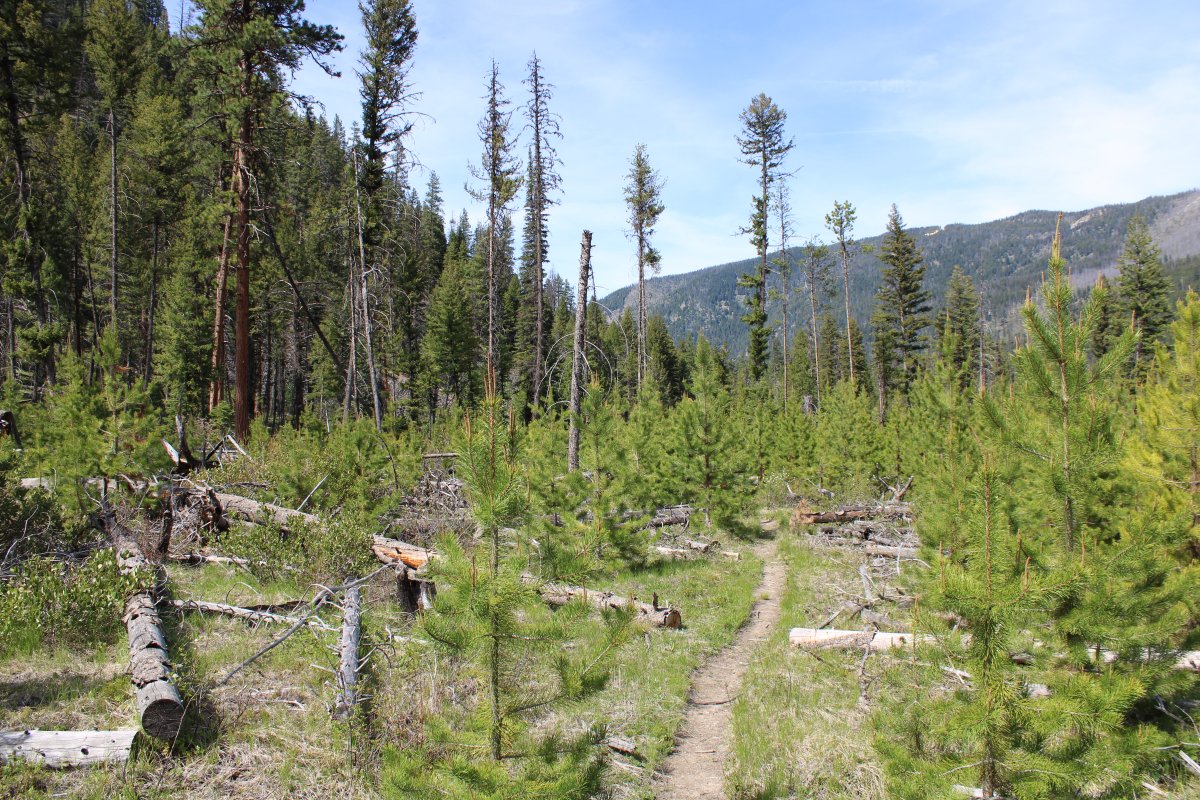
There were bikes available for free use, so Erich, Annie and I went for a bike ride along the creek heading south. The scenery was stunning.
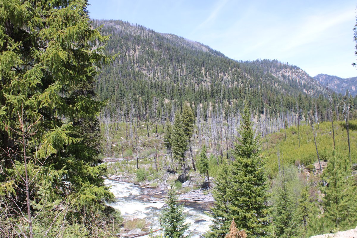
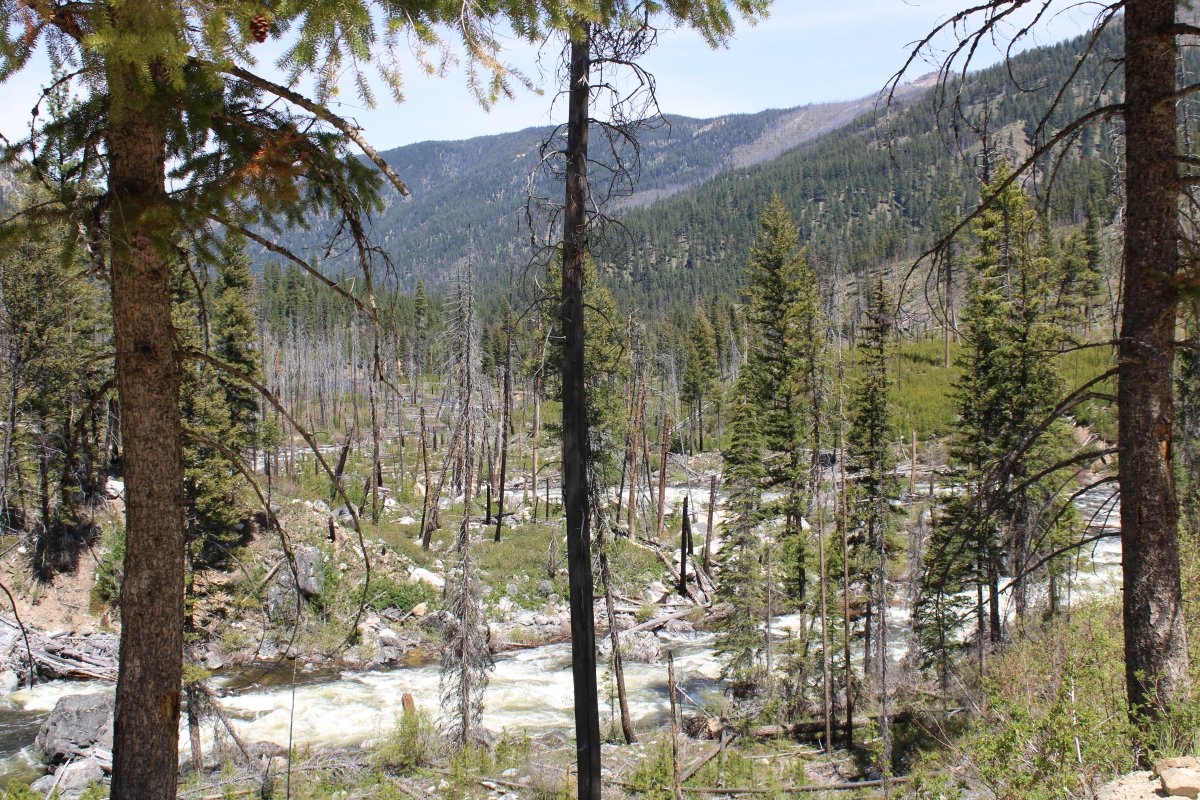
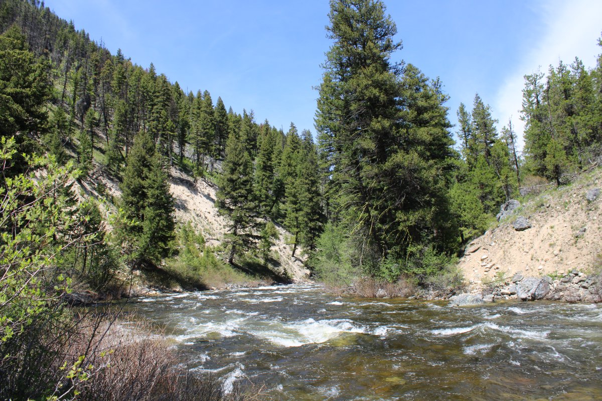
Johnson Creek glides by.
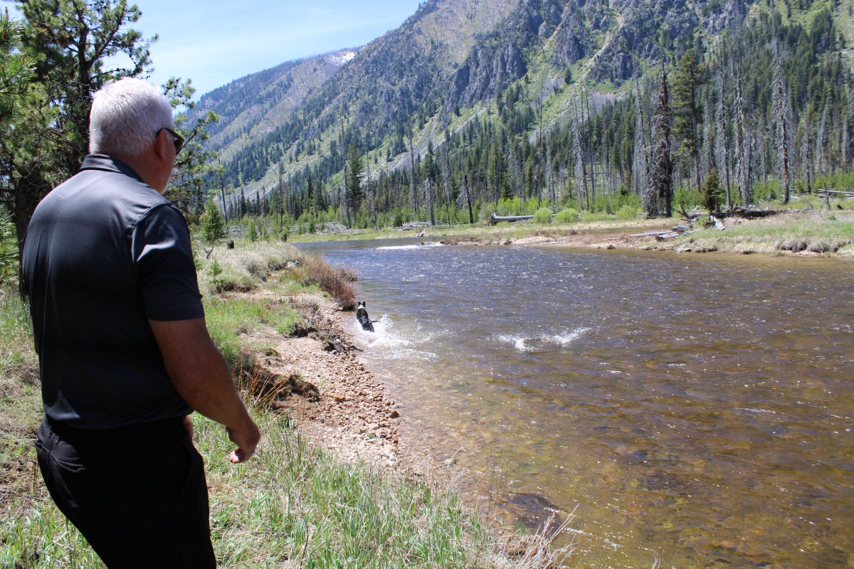
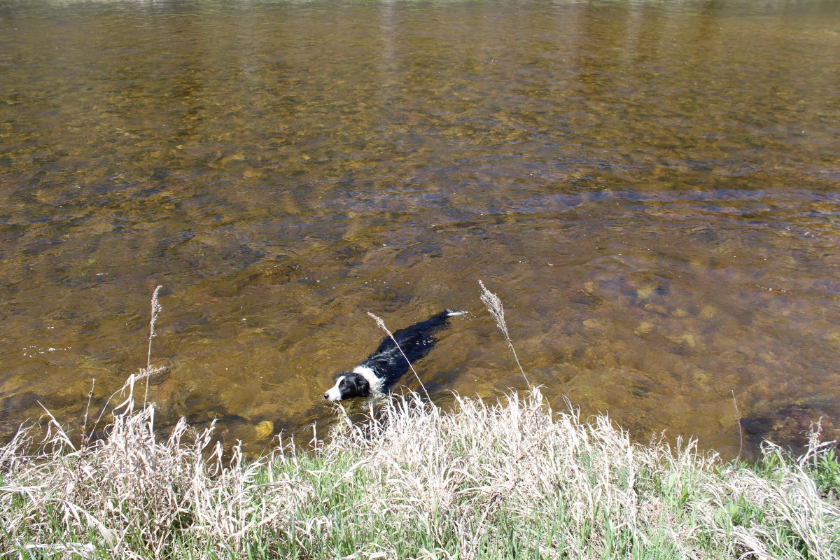
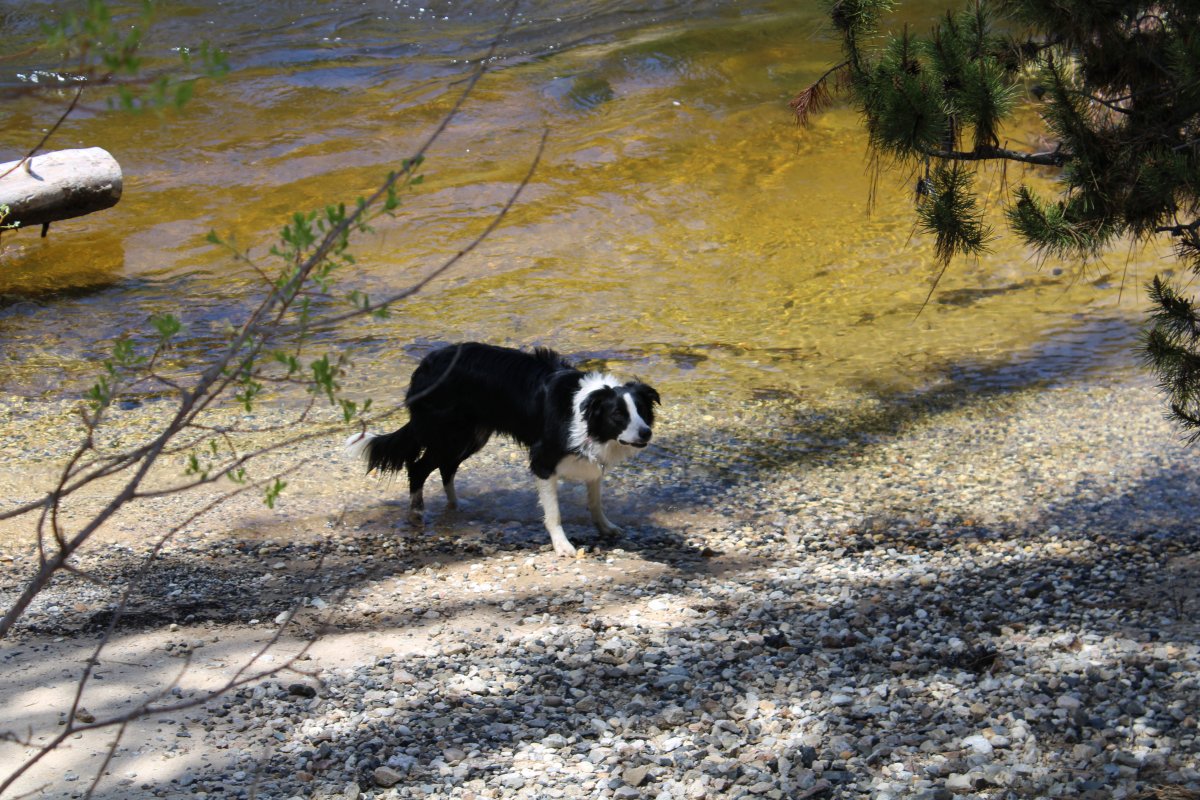
But the creek had a pretty good current so Annie would have to work pretty hard to get back to shore.
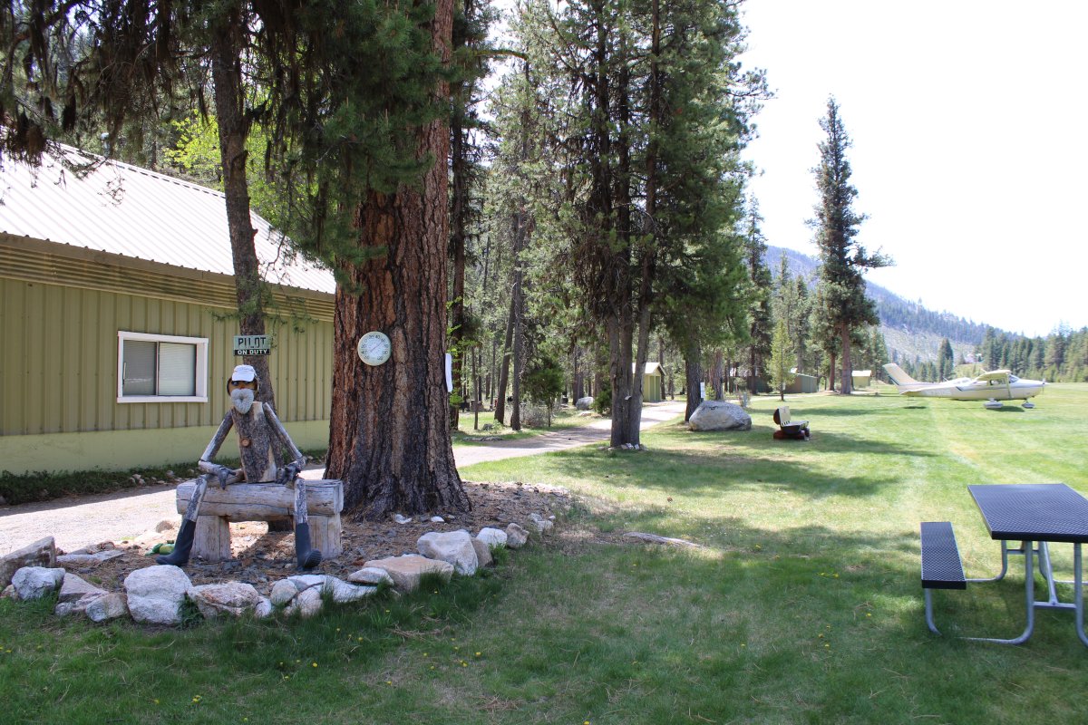
The pilot's shack and shower house is in the background. You could charge up your Smartphone there; Wifi was also available.
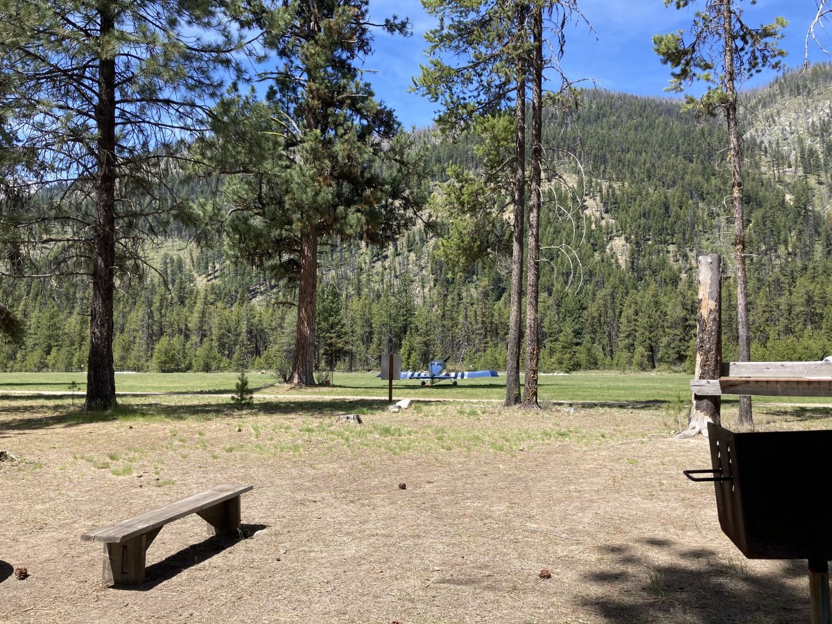
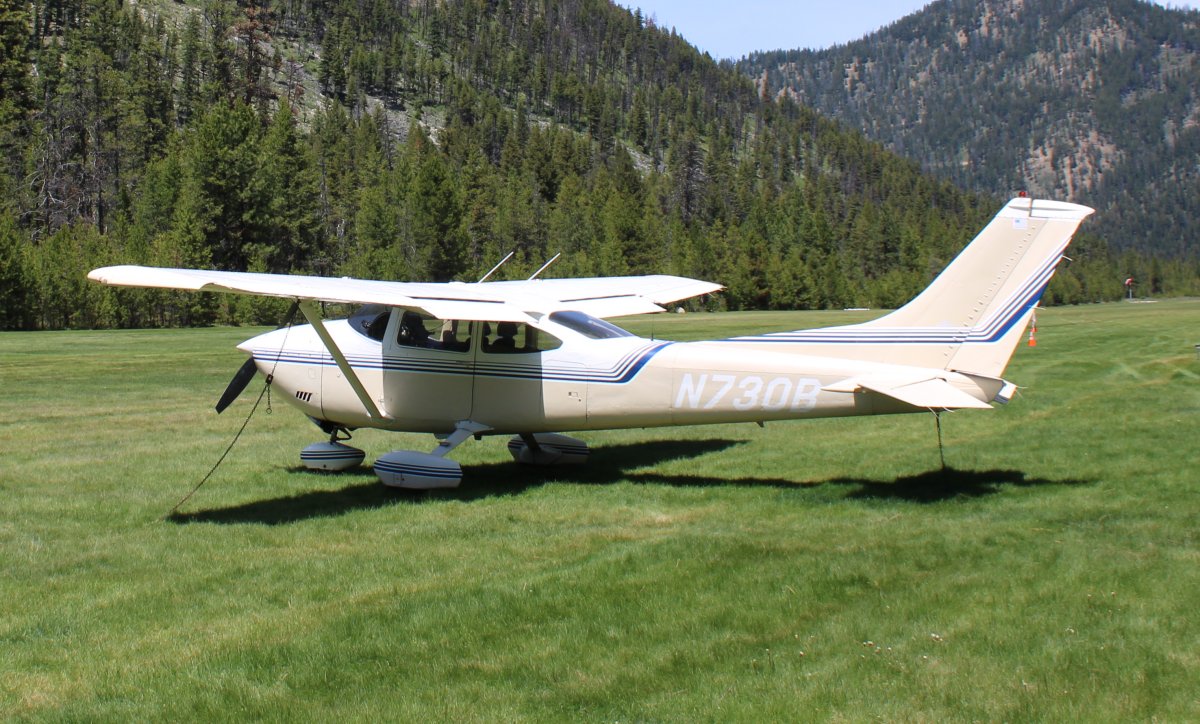
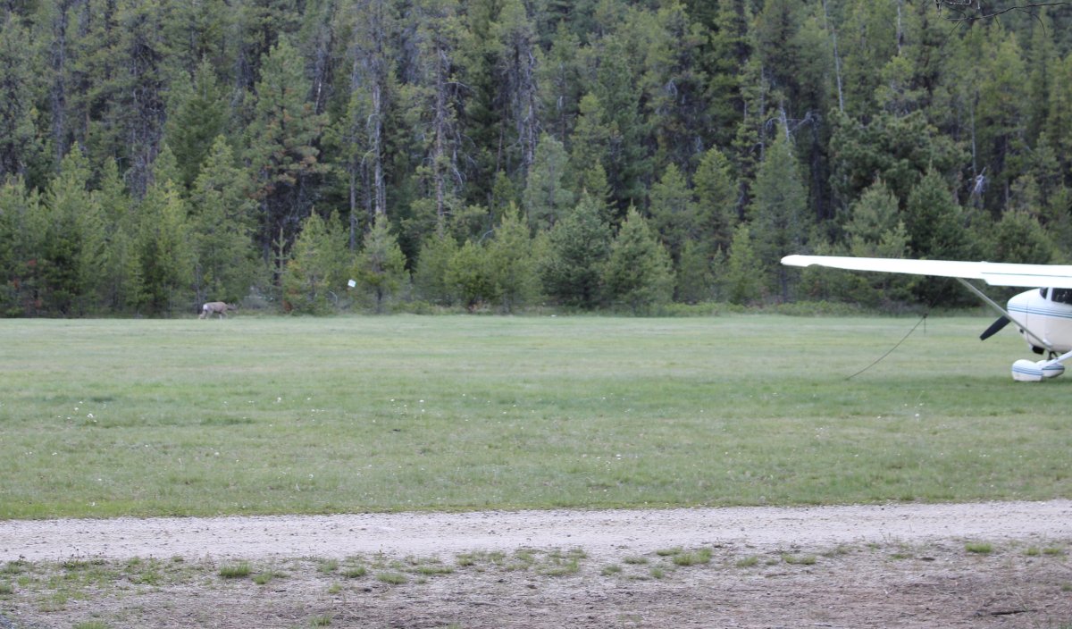
A bunch of other planes were camping down at the north end.
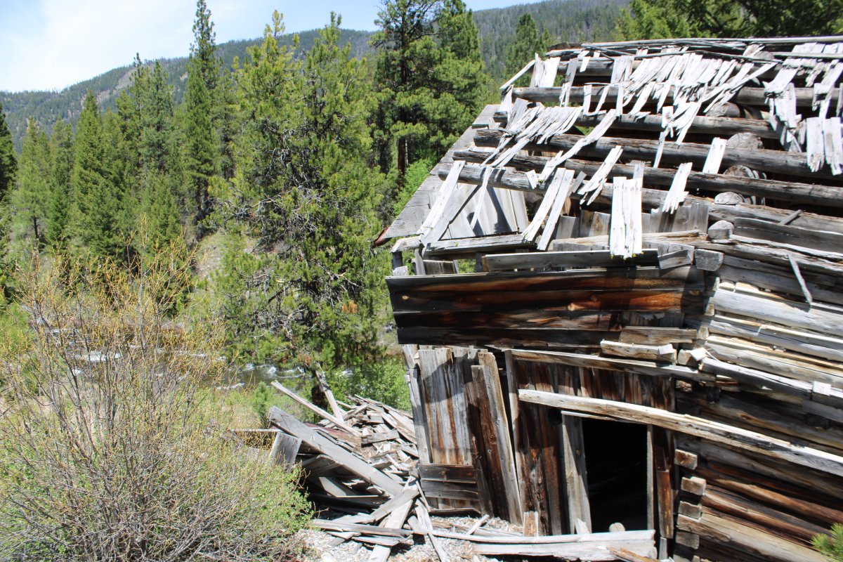
Off the north end of the runway was this abandoned cabin that has seen better days.
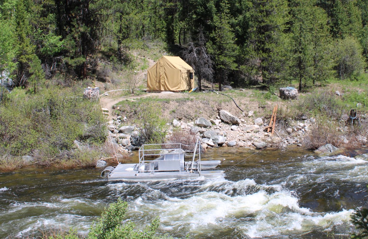
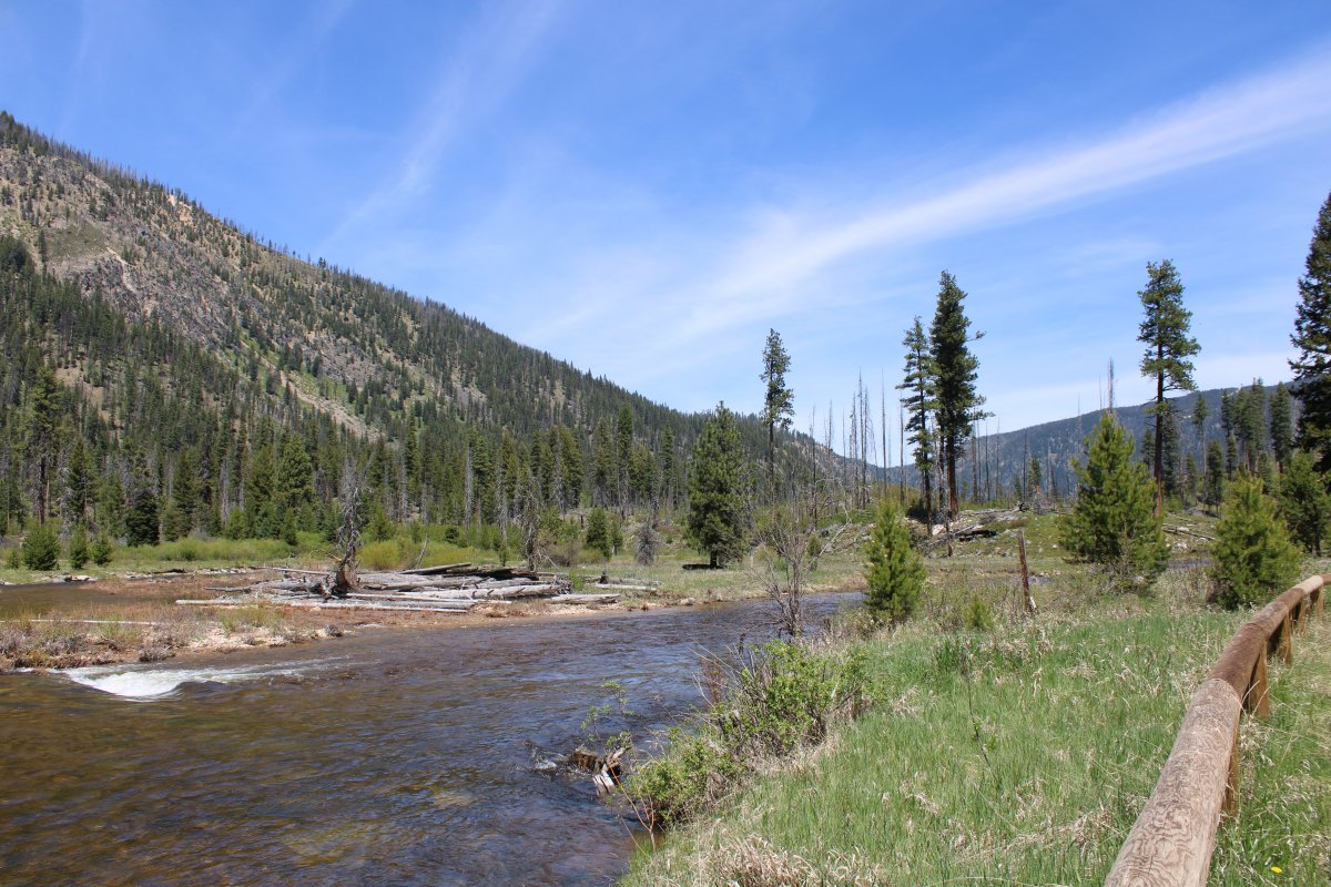
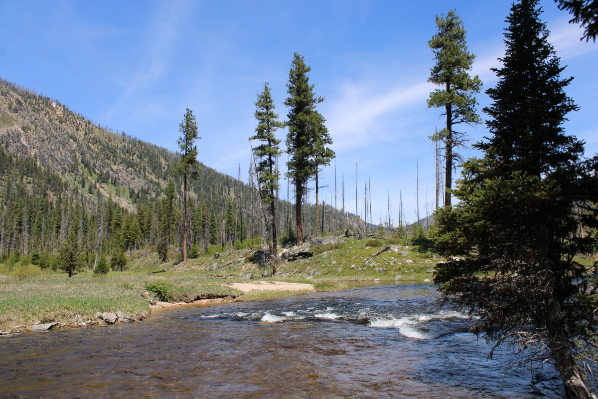
Johnson Creek flow north.
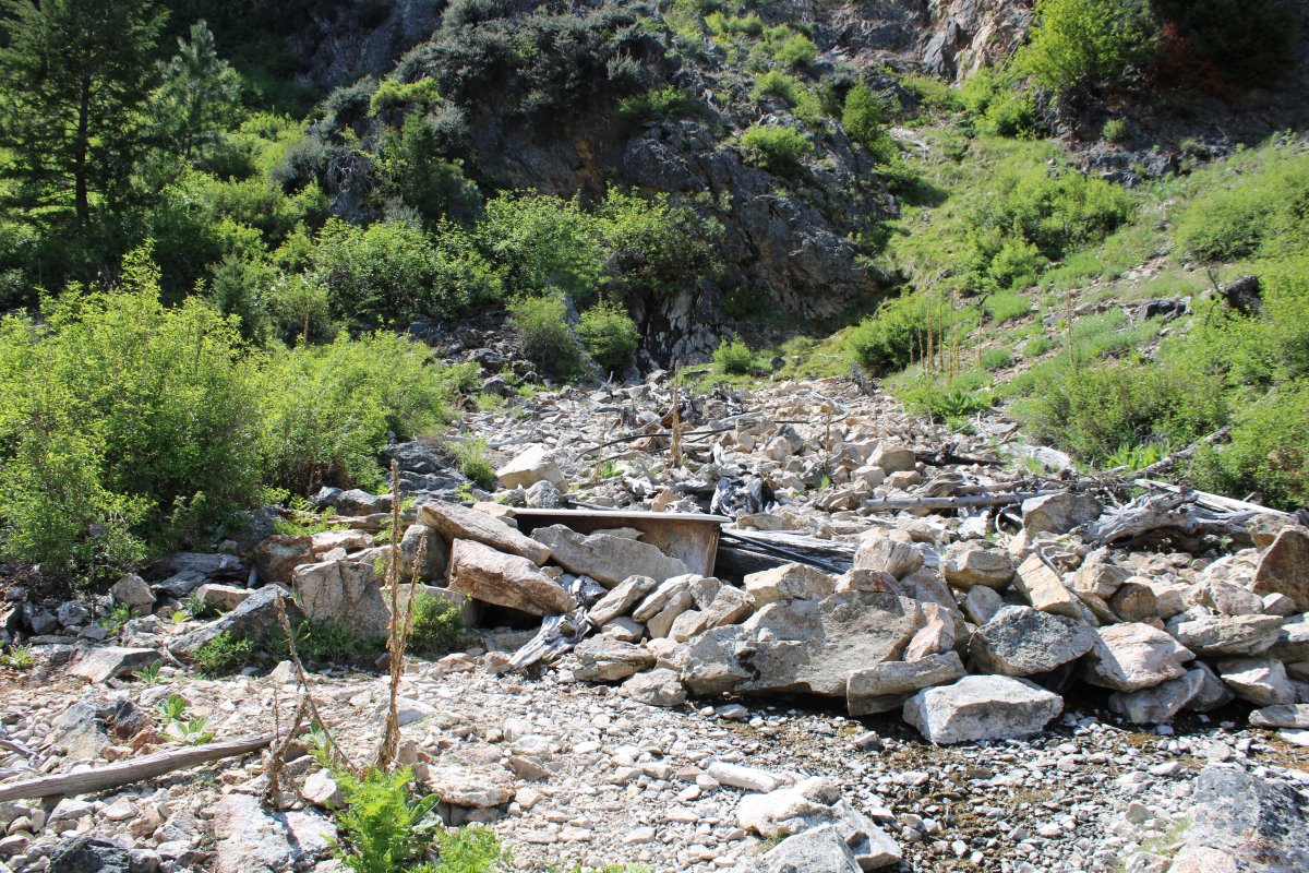
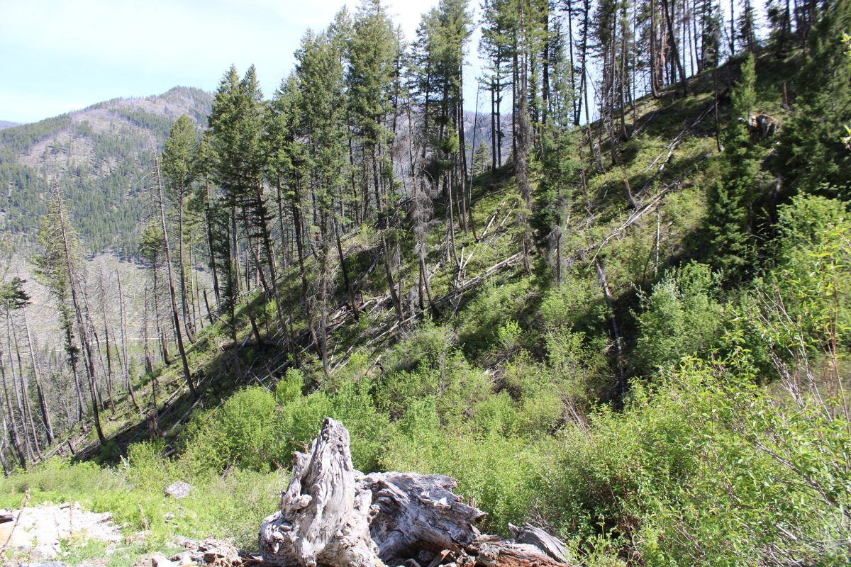
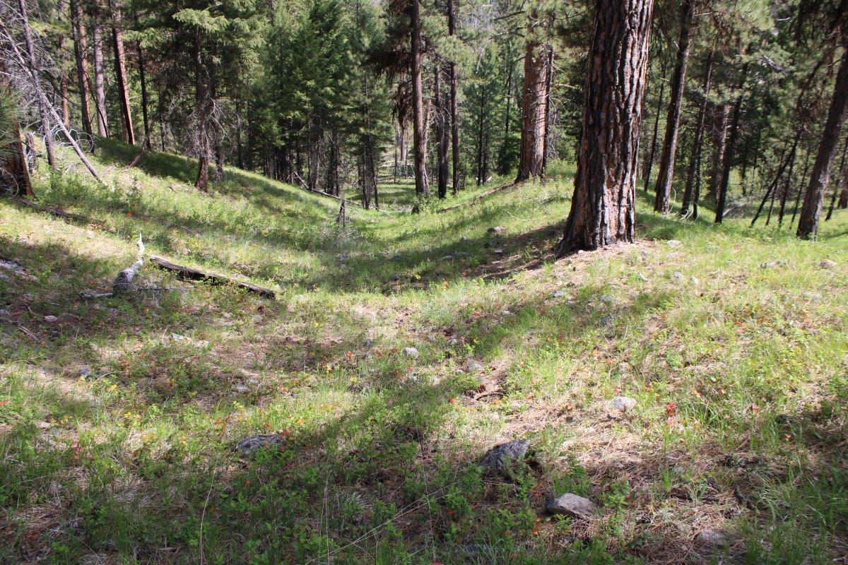
Looking up hill. The trail was not well marked towards the end and I wasn't sure if I was going the right way.
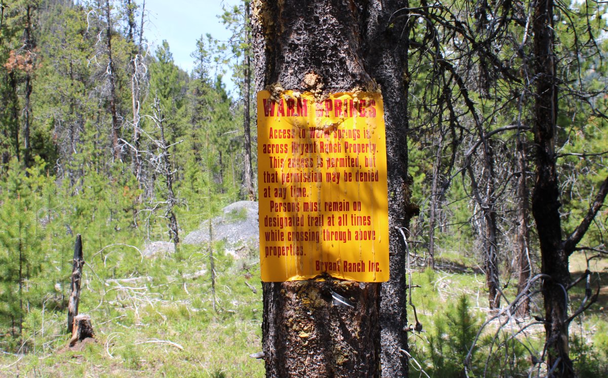
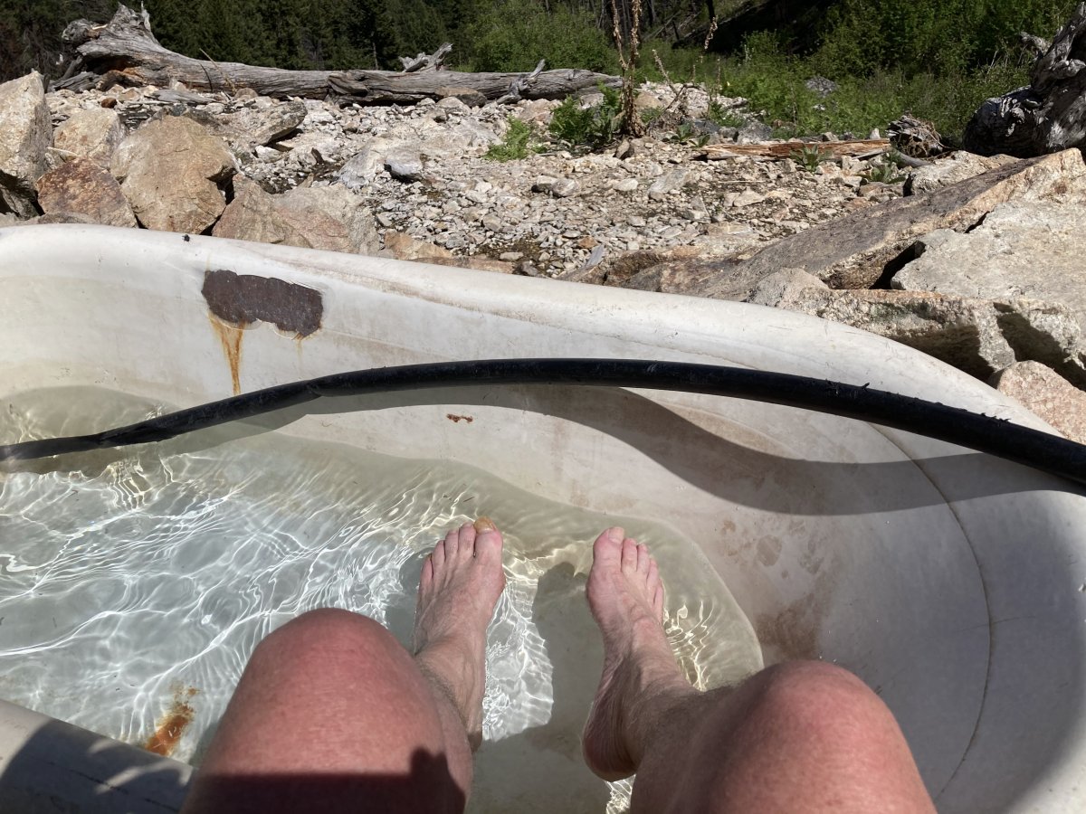
Yes, the Warm Springs is a cast-iron bathtub which is filled with spring water that warms up in the sun.
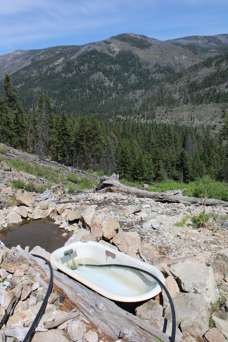
Warm Springs does have a very nice view, I must say.
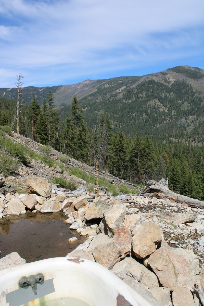
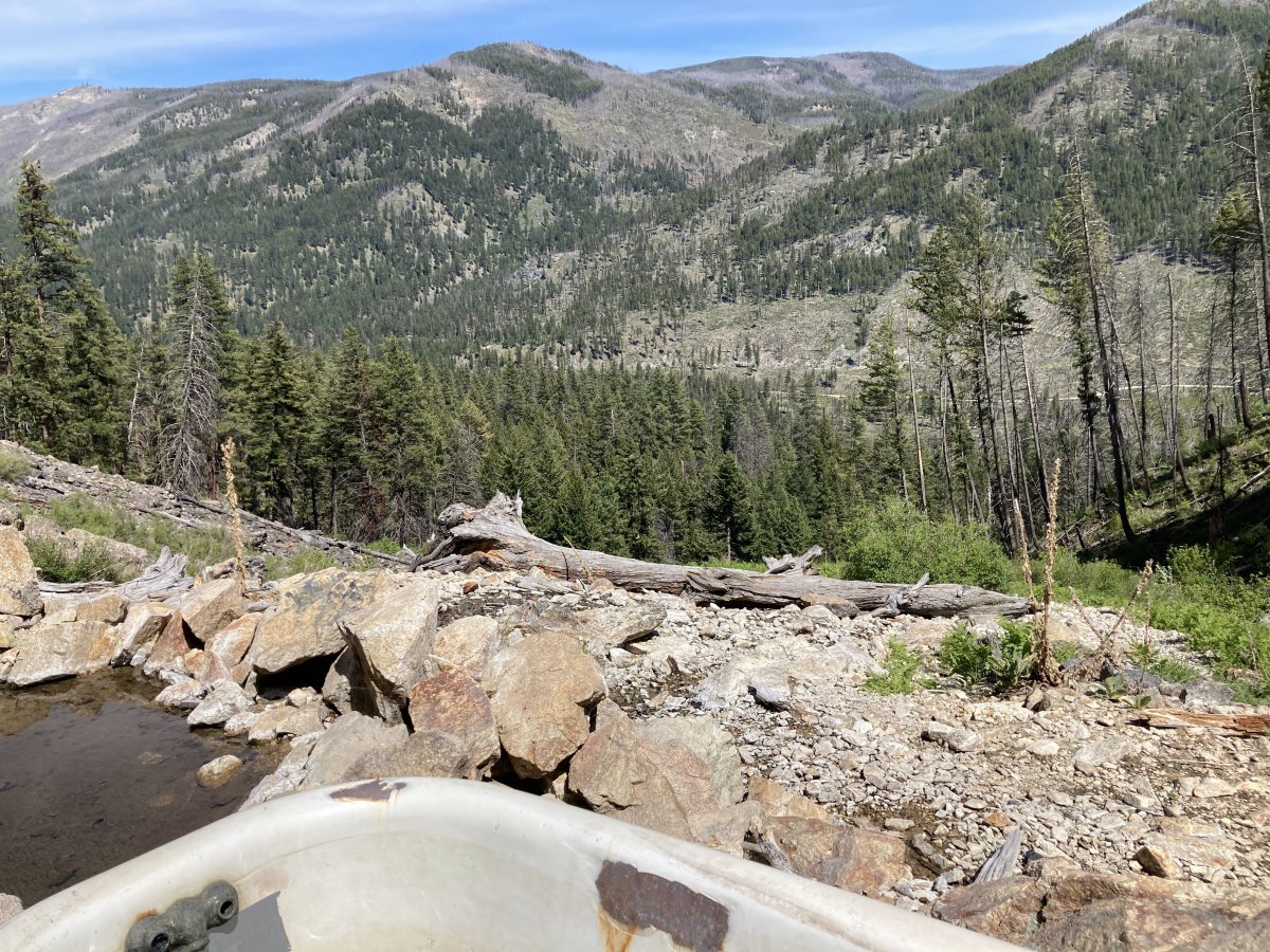
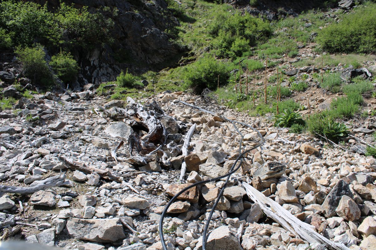
The black hoses get water somehow which flows down to the tub.
Back at Johnson Creek Airport.
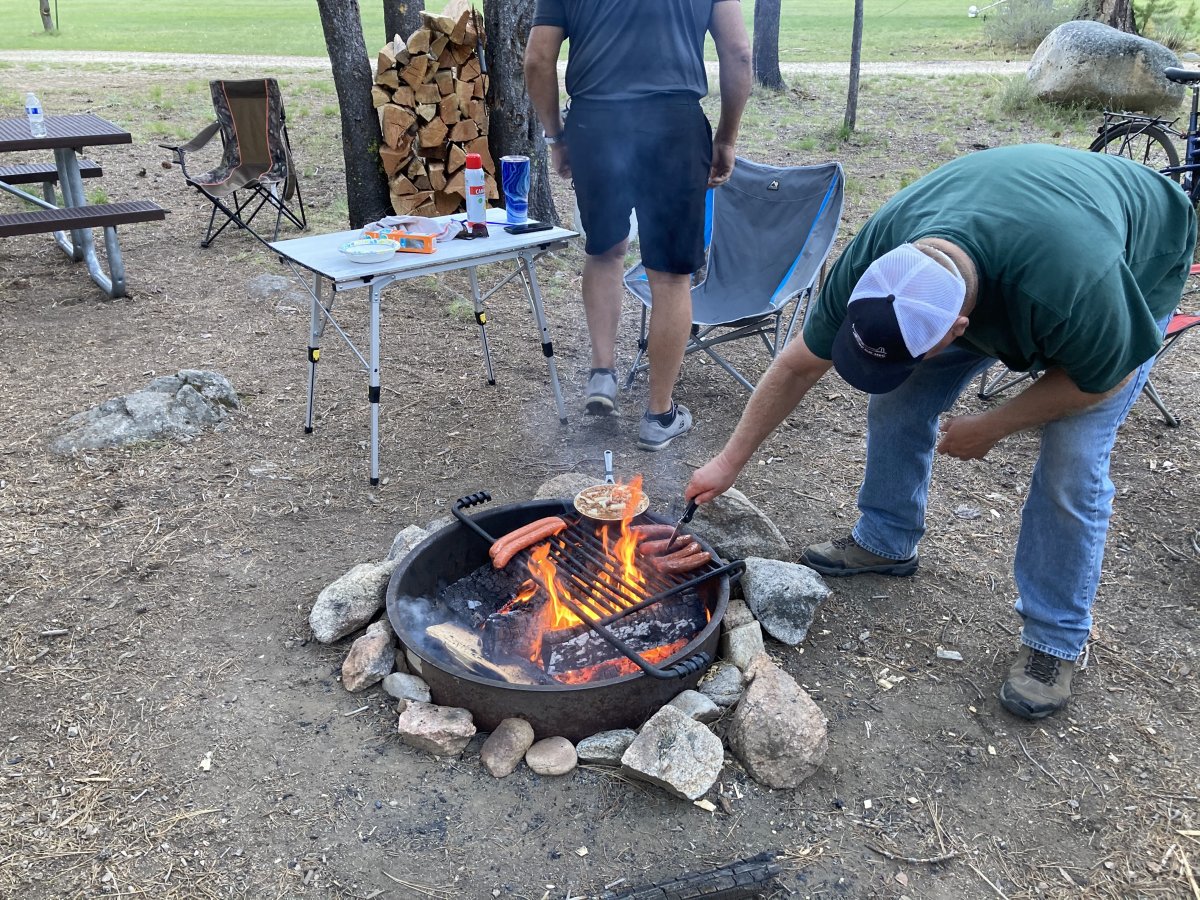
Erich started up a fire and a bunch of us had dinner together. I had some leftover Jack Daniels from the weekend with me, plus some Schweppes ginger all, so we all enjoyed an outdoors happy hour. One of the pilots was a local and gave us a lot of great information about mountain and canyon flying.